Data collection for pedestrian routes
A key metric in determining potential problems and opportunities with making changes to popular walking routes is pedestrian and traffic movement within the area.
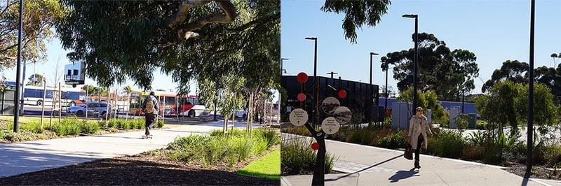
The City of Marion wished to understand the most popular routes pedestrians were using between Oaklands Train Station and Marion Regional Centre (Marion Cultural Centre, South Australian Aquatic and Leisure Centre, GP Plus and Westfield Marion) - Diagonal Road or Diagonal Way.
Understanding these movement patterns was an important prerequisite to upgrading a park that would include a walking path following along Diagonal Way.
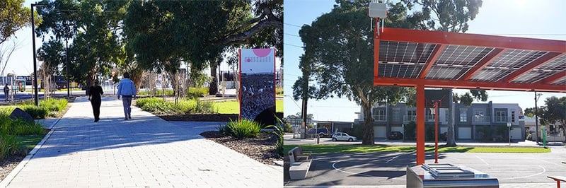
In order to gain an understanding of pedestrian movements, SAGE Edge detection devices were installed at four separate locations so that pedestrian visits could be correlated between sites.
Using this data, it was possible to identify the number of pedestrians who travelled between the Diagonal Rd sensor, Diagonal Way sensor, and the Oaklands Train Station sensor.
Using the data collected, the council could determine the current split of pedestrian movement, and compare that to data obtained after the park upgrade was completed.
Understanding traffic movement data
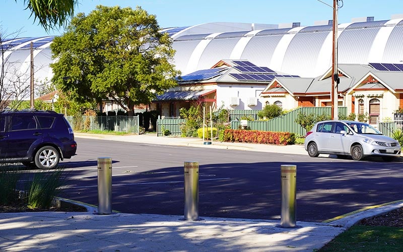
Oaklands Park residential area sees significant traffic movement through the back streets (coined “rat-running”) to access the nearby Westfield shopping precinct and train station.
The City of Marion, on behalf of the Smart South Consortium, engaged SAGE Automation to design a solution to collect and analyse real-time traffic data in the Oaklands Park area.
The analytics provided the City of Marion with the following benefits:
- A 24/7 destination survey of the included roads to better assess delays and congestion caused by traffic
- The ability to contextualise and measure the severity of residential complaints to best allocate resources and achieve measurable outcomes
- The ability to measure traffic management such as speed bumps and turning restrictions against real traffic flow.
SAGE proposed a collaboration between the City of Marion, the Department for Infrastructure and Transport (DIT) and SAGE Automation.
This solution used new and existing traffic detection hardware aggregated by the Addinsight platform and displayed through dashboards customised for the City of Marion. This partnership broadened DIT’s coverage of their existing traffic congestion analysis platform and provided the City of Marion insights into the surrounding road network.
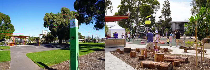
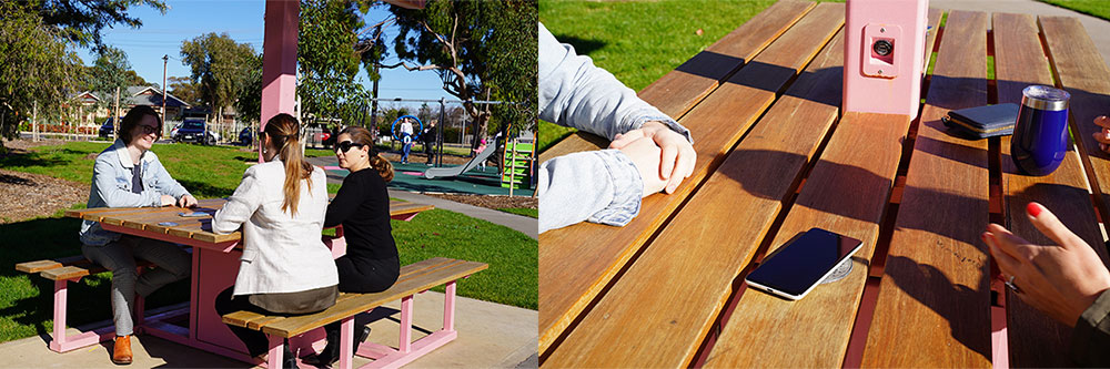
SAGE also repurposed previously utilised playground sensors to measure the amount and duration of equipment use. These were deployed to provide metrics for each item of equipment so that previously collected telemetry describing relative playground equipment use can be confirmed to ensure that the council is providing enjoyable experiences for children in the local area.
Playground equipment usage metrics
City of Marion engaged SAGE to collaborate on a project to understand how people are using individual items of equipment.
SAGE led the development and implementation of this world-first study of real-time playground usage. SAGE delivered a real-time measurement of park usage which required no local gateway or hard-wired infrastructure.
The devices measure per-equipment usage counts and duration, allowing better planning and resource allocation for parks across the City of Marion’s council. Using algorithms that combine weather, term dates and days of the week, the City of Marion can use the data to identify equipment faults quickly – which can be used to reduce liability and risk of injury. City of Marion can also focus spending based on the popularity of equipment, and use this information to guide future playground design.
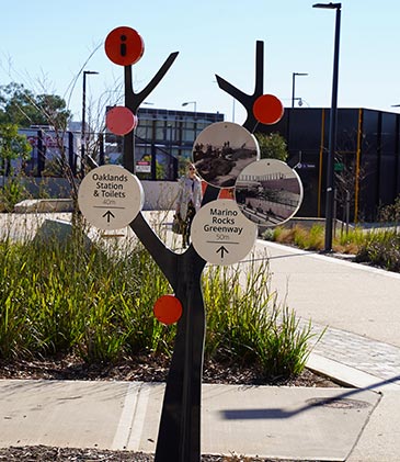
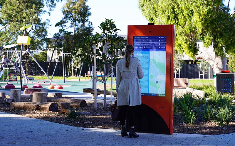
Digital kiosk
SAGE delivered a digital kiosk that connects to existing and open datasets to provide at-a-glance wayfinding information and the ability to view surrounding points of interest.
The kiosk pulls existing information from the City of Marion’s website including:
- Real-time public transport updates
- Public toilet locations
- Upcoming community events.
 Digital kiosks provide real-time schedules and updates for public transport, as well as community information and nearby services.
As part of the kiosk’s delivery, SAGE engaged with the Royal Society for the Blind to ensure the accessibility functionality met the needs of people with visual impairments and drew on experience from previous deployments to implement wheelchair accessibility modes.
The kiosk will be an ongoing touchpoint for visitors to provide feedback on their experience and for the council to inform park users of upcoming events.